Author Archives: Sally


About Sally

A Studio Artist and painter trained at Stanford university, Sally has since then graduated from a long career as an Attorney with the Public Defender, and returned to painting. Living in Mexico with her son for a year, they adopted a feral dog, Lety. Sally's son left for college and their dog adopted her new best friend, Steven.

Natural Bridges: Water At Work

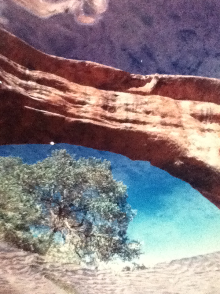
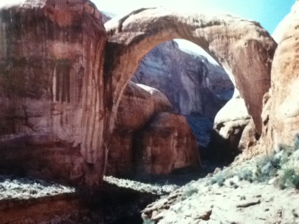
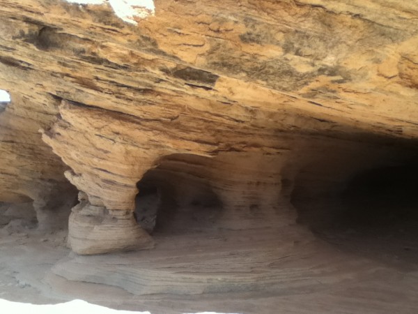
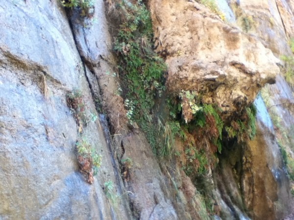
Massive stone bridges, among the largest in the world, cut by streams and rives. Arches, however, are formed by water erosion from the top. They both look the same to me. I took pictures of rocks nearby only 3 feet tall that seem to show the same erosion. With time, water, and support from harder rock on the side (like canyon walls would provide), arches (bridges?) would be formed.

[Please note: the featured image is a reflection from a pool under the bridge shot by an unknown NP staff member. Beautiful work. If anyone knows who to ascribe this to, please let us know so we can give credit to this wonderful photographer.]

This park also lies within the dark sky reserve, has an astronomy program and a new telescope. As we are travelling outside the season, no night sky program was available here. The old telescope was sent to Hovenweep National Monument, another dark sky site, but no one knows how to use it down there yet so we will just have to rely on binoculars, our “young” eyes, and our star guide app.


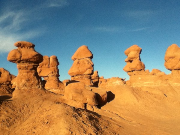
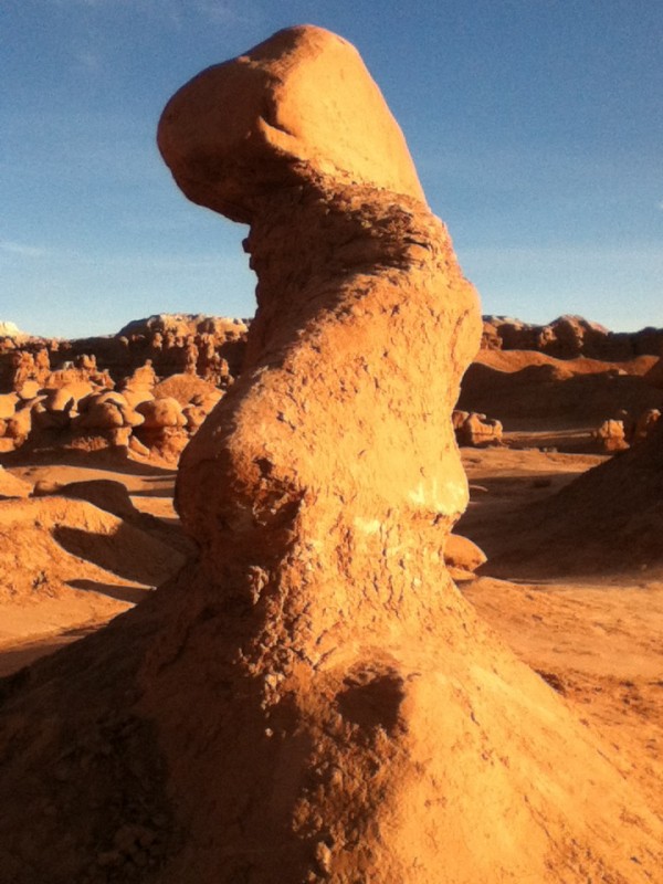
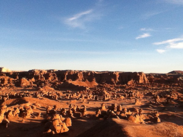
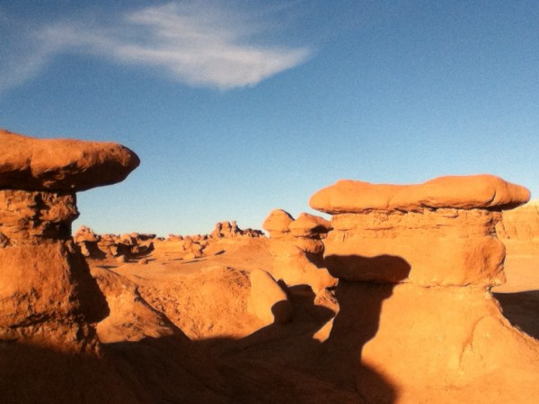
Goblin Valley…Baby Hoodoos!

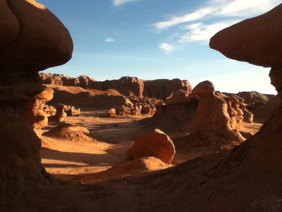
This place is sure to hit our top ten list this year. Unlike the tall spires that are only seen from above or below when you are “hoodooing” (like Bush, I reserve the right to make up words…) in Bryce Canyon, these hoodoos, called “Goblins” are human-sized, and mushroom shaped (….isn’t that a gracious way of saying, “phallic”?)


I felt like Alice in Wonderland walking among this valley floor covered with them.


I have loaded up the goblin photos as I could not feature the other remarkable feature in this park, the complete darkness of the night sky here except for stars and planets and meteorites. Located just north of the Cathedral Valley in Capital Reef NP, this area down to Hovenweep is designated, a “dark sky reserve” as it lies more than 200 miles from the light array created by the large cities of Las Vegas and Salt Lake City. Stunning meteor displays allowed me to make LOTS of wishes for the election, global issues, and my son’s continuing success in college. This area was perfect for long evenings of campfire lounging.

The only disruption of our peaceful scene was Lety’s pursuit of nocturnal animals. Breaking 2 leashes and one collar lunging away from the fireside, we bought a choke chain (without sharp prongs) and heavy wire lead. She learned quickly to watch, not to lunge. Good dog. Smart dog. Nothing like a painful outcome to alter one’s behavior.

Old White Mountains Leer at Young Pink Rocks

Leaving Bryce Canyon on Scenic Byway 12, we drive 100 miles of designated, “All American Road”, one of only 10 such roads in the U.S. Crossing through 1.9 million acres of the last place in the continental U.S. to be mapped, we cruise by the last river to be mapped, the Escalante River. In 1872 while Powell’s 2nd Expedition mapped the Green and the Colorado Rivers, Powell’s sister, Botanist Ellen Thompson and her husband mapped the Escalante River and Henry Mountain.


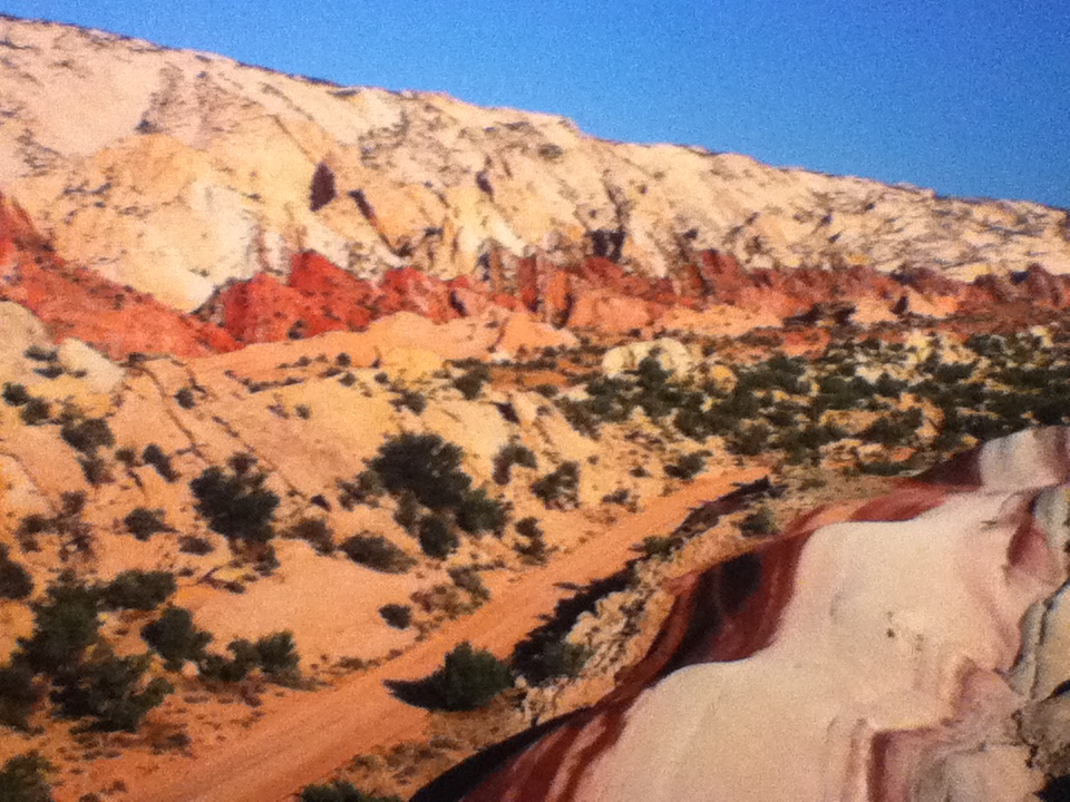
While Bryce’s rocks formed its’ pink sandstone and limestone in a fresh water lake system 35-50 million years ago, they are relatively young. The rise of the Colorado Plateau 15-20 million years ago, exposed the sediment to erosion, forming fins and hoodoos. Capital Reef however, of harder Navajo Sandstone, is Permian rock, as old as 275 million years old and Cretaceous rock, as young as 80 million years old (…and does that make a 59 year old feel like a baby!) Maybe instead of getting old with phrases like, “60 is the new 50”, we should see our age as young compared with other “young” but enduring monuments. How about, “60 is the new 80 million”? Oh yeah, Baby, I am feeling like a young pink rock!)

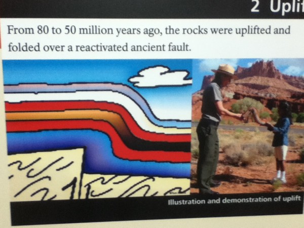
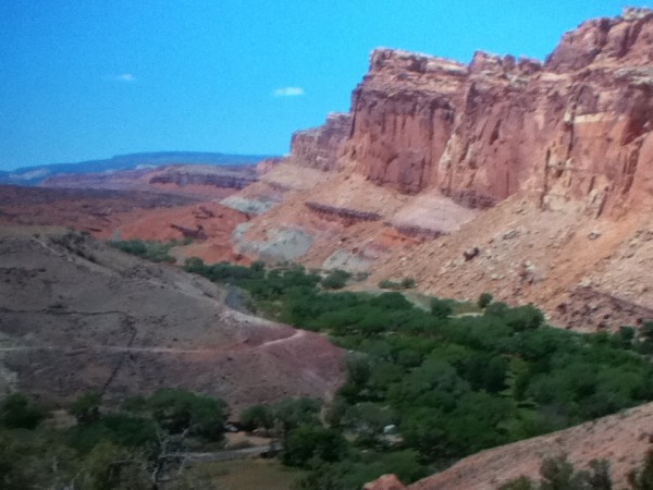
I digress, back to geology…the Colorado Plateau that exposed young and old rocks is the largest monocline (stair step fold) in the U.S. No where better can this be seen than at the Waterpocket Fold in Capital Reef, running 90 miles in length, and exposing rocks standing 7,000 feet higher on the west side of the buried fault. The Chinle Formation exposed by the fold extends over most of the Colorado Plateau. It’s layers show massive sand dunes 190 million years ago, meandering and stagnant swamps 210 million years ago, and limestone formed when the area was covered by a shallow ocean 270 million years ago.


Although an older and richer display geologically than any site on the Plateau, hiking through the Grand Wash in the Waterpocket Fold as Rebecca and I did in the 80’s, is less dramatic visually than the massive monuments to the north in Cathedral Valley, rivaling Monument Valley in Navajo lands to the South.

HOW DO YOU HOODOO? (BRYCE CYN)

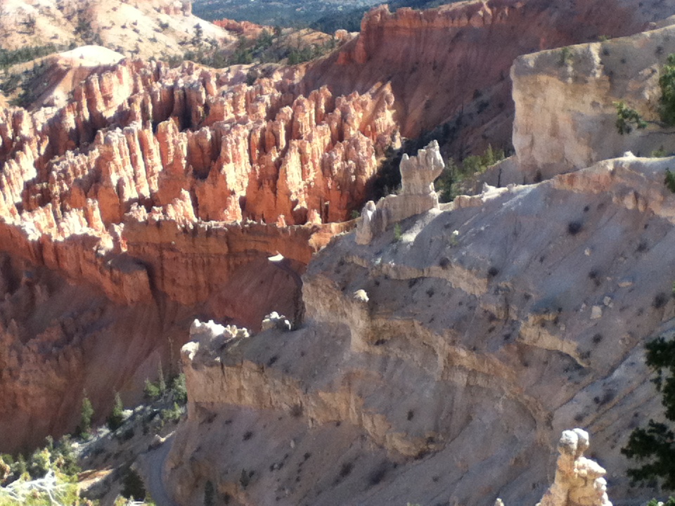
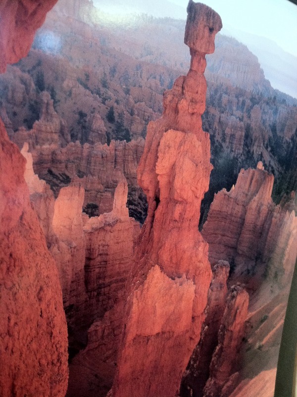
The hoodoos are formed when the “fins” or long ridges descending from the rim are subjected to erosion. Their red color is the result of the chemical iron oxide and water. Although very dry with only two streams in the park, small basins of water allow douglas fir to survive. The Claron Formation, providing the pink color, formed at the end of the Cretaceous Period, is exposed at Bryce. As the Colorado Plateau steps down, it exposes different formations with distinctive colors as the Plateau drops down toward the Colorado River.


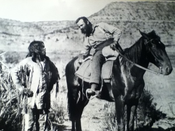
John Wesley Powell led expeditions to map and name the dominant features in this area beginning in 1869, when he began a 3 month trip down the Green and Colorado Rivers and into the Grand Canyon. One of the boats, which held the barometers used for determining altitude was wrecked in the rapids below the Gates of Lador. He had to do a hazardous climb to rescue even one of the barometers. A wonderful book by Buzz Belknap follows the Powell Expedition on the Green River, rapid by rapid, based on Powell’s notes. Many years ago, I ran rivers, including the Green and the Grand Canyon. Powell’s accounts of the Marble and Lava rapids give you an idea of how dangerous 16 foot standing waves can be to a little boat. I recall the chills I felt as we we read his account within earshot of the rapids at the Gates of Lador the night before we ran it. He was a brave explorer and an exciting narrator:

“June 18, [Bradley and I] climb…until we have ascended 600-800 feet, when we are met by a sheer precipice…; Bradley hands the barometer to me,..I gain a foothold in a little crevice, and…I find I can get up no farther and cannot step back…I dare not let go with my hand…I call to Bradley for help. He…cannot reach me. The moment is critical…my muscles begin to tremble. At this moment it occurs to Bradley to take off his drawers…and swing them down to me. I hug close to the rock, let go with my hand, seize the dangling legs, and with his assistance am enabled to reach the top.”

He spent four years with the local Indians, recording their languages and way of life. They referred to him as, “Ka-puh-rats”, meaning, “Arm-off”. Powell lost his right arm in the civil war.


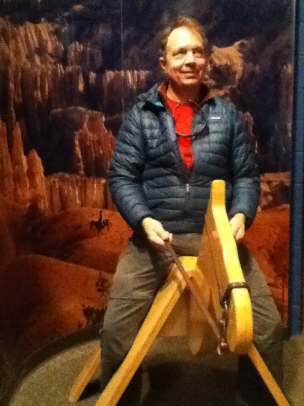
8300 foot elevation makes for high desert conditions(29 degrees at night, warm during the day) and animals including mountain lions, desert turtles, a prairie dog unique to this area, and of course the wily coyote. With Steven’s ankle still healing, we had hoped to trail ride below the rim to be among the hoodoos, but many park services have already closed for the winter, so this was the only horse we could arrange this late in the season.


STUMBLING THE NARROWS: ZION NAT’L PARK

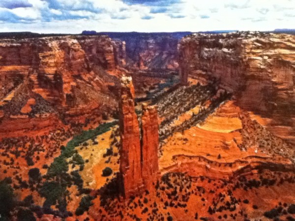
The Colorado Plateau is a region raised very slowly, thousands of feet, exposing sedimentary layers that created the color variations and whose erosion created incredible variety of canyons and rock formations.  The Colorado Plateau is an immense area of land bordered on the south by the Sonoran and Painted Desert, on the west by the Great Basin of Nevada, on the east by the Rocky Mountains, and on the north by the Uinta Mountains of Utah. We are hiking and biking much of the 900 mile “Grand Circle, with focus on ruins of the Ancestral Puebloans, formerly called “The Anaszazi”, who have lived here for 10,000 years.

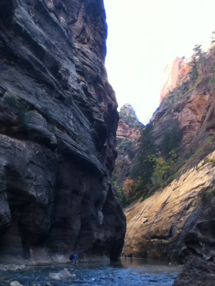
Deep in Zion Canyon, the Virgin River flows through a narrow canyon cut through the very hard substance, Navajo Sandstone, standing 2000 feet above the canyon floor. The sun rarely reaches the bottom of the canyon walls, narrowing to only 2o feet. It is a very cold and wet experience to wade up river. Prepared people wear wetsuits, neoprene booties, hiking boots and carry walking sticks.

In 1988 at Thanksgiving, my backpacking buddy Rebecca and I decided that hiking the 5 mile long Narrows in wet clothes, would make us hypothermic. No one was there (yeah, I know, I’ve said that before and been caught in the buff…) and we stripped to our unders and waded and swam the river, coming back to dry clothes. Given how much my feet hurt from the freezing water now in October, I think we either had intense mental toughness back then, or perhaps the numbness that protected my feet this time, was what allowed us to wade the river in more wintry conditions in the 80’s.

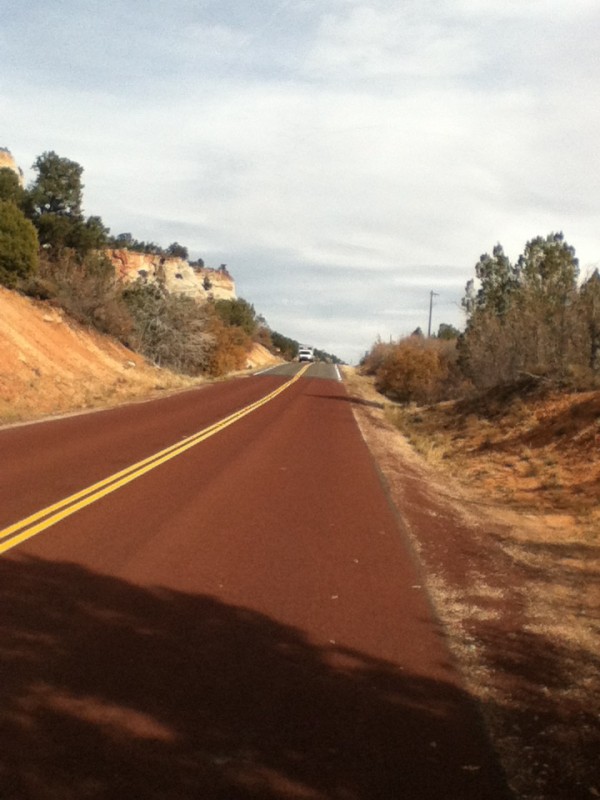
We enjoyed the long bike path that runs along the Virgin River. Another unique feature at Zion Canyon is the red macadam on the roads. At first I thought the red asphalt was based on the availability of local building material eg. red rocks=red highway materials. Not so. Someone actually thought to make the roads blend into the surroundings graciously. Within 500 feet of the canyon entry and exit, the roads revert to blacktop.

SoCal to Southern Utah


Our stay in Pasadena was extended for a week of tennis fun (daily play, lessons, and ball machines) followed by a week of recovery from tennis injury (Steven sprained his ankle BADLY). At last, we are on route to the land of the red rocks, with some great sites surprising us along the way:

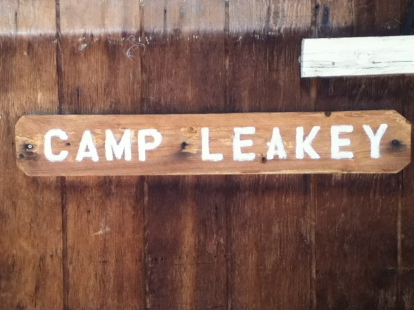
1)  OLDEST DIG IN THE U.S.: CAMP LEAKY- EARLY MAN SITE?? Calico, CA

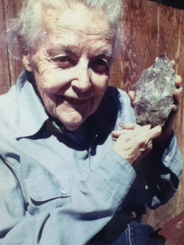
Dee Simpson took evidence of early man findings from San Bernadino County to Dr. Louis Leaky (of Oldevai Gorge Fame) in London. He got funding in 1964 from The National Geographic Society to dig for biface tools used by Early Man at least 14,000 years ago at this site. Unfortunately, Leakey’s claims that this site would yield human remains from 100,000 years ago has led to questions about his competence. It appears that the lack of any other remains of human and animals at this site, and the enormous numbers of biface tools found, forms a scientific consensus that these “tools” are geofacts (created environmentally) not artifacts of human use. Carbon dating is difficult as the alkaline soil destructs organic materials. However, as some tools were heated, geothermal luminescence suggests earlier findings. The then verdant landscape with 20 inches of rain/year provided hard material (non-crystalline silicon dioxide) that flake off just a bit fatter than 1 ml. thick obsidian flakes (that rival the best surgical scalpel available today). Although this is the oldest continuing archeological site in the U.S., it is “young” compared to Early Man sites in Europe over 100,000 years old. When Dr. Leaky died in 1972, Dee Simpson, curated the site until 2000. It is an active dig and still remains the oldest in the U.S.

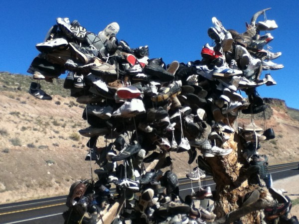
ZION SHOE TREE, Hurricane, UT:

There are lots of shoe trees around it seems. Legend has it that this one commemorates those who hiked the crazy exposed Angel’s Landing Trail in Zion NP where 6 have died from falls. With Steven’s blackened ankle, we passed up the chance to hike it and add our shoes.

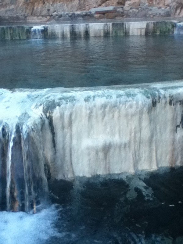
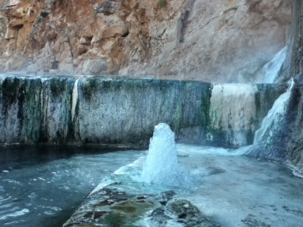
PAH-TEMPE HOT POOLS, Hurricane, UT


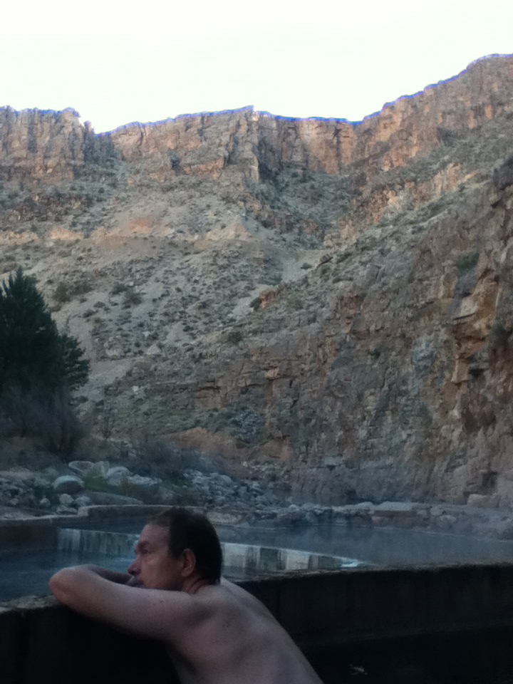
7 pools, the color of travertine, cascading into the Virgin River under a mountainous ridge. Unbelievably, you rent it out all to yourselves for 3 hours at a time for private lolling and stewing. What a pleasure to shoot photos sitting in 102 degree water……Ooooh!…..Aaaaah!  There is also this little geyser providing a constant jet of warm water, especially for the ladies!

Rensselaer Polytechnic Institute/Fall Colors Upstate NY

What do the Ivy League colleges have in common? Brick buildings, Autumn foliage, Ice Hockey Fanatics.

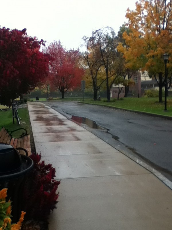
Rensselaer fall colors

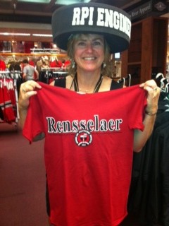
One may don appropriate attire (note the fetching headware…that would be a foam hockey puck you see on my head) and root for the “Engineers”. Really. No “Wolverines”, “Tigers” or “Mustangs” for this crowd. I guess we win by outsmarting the opposition? Perhaps this was picked at the school’s inception in 1824. It is the oldest technological university in the English-speaking world and boasts the chief engineers for the Ferris Wheel, many famous bridges, the first commercial TV, the first digital camera, creator of e-mail, and the microprocessor, and the Kindle as its’ alumni. As a parent, I am just thrilled my child is happy, has friends, actually meets with his professors, and is working his butt off like never before. He is happy that tons of hightech businesses come on campus soliciting freshman for summer jobs. He also wanted “real winter”, and I hope he is happy that “Frankenstorm”, a convergence of three weather systems, including Hurricane Shelley are beating inland towards Troy, NY. Some kinda fun, I guess? I’m just glad that my mother and I got to see the gorgeous foliage at Parents’ Weekend before the leaves got blown away.

Los Angeles Downtown/Pasadena: Everywhere Art

I lived in Pasadena until I was 17. Visiting my mother here, gives us old and new venues to explore as she hosts us like visiting dignitaries. So many things here have gotten better over time (air quality, most of all) and some…well, not so much (like the traffic!). Some of the great old restaurants have been preserved, especially my old favorites like “Philippe’s French Dip Sandwiches”, where you share huge long tables on sawdust floors with all the other neighborhood folks. For jazz, cocktails and thick rare steaks, an old favorite, “Columbo’s” is still in business, although the onsite owner/manager just died two weeks ago at age 99.5, so some changes may be afoot. For new establishments, I had better Vegan food than Berkeley or SF offers, at “My Vegan” in Pasadena. That was just the food part (Thanks, Ma!).  The Arts are thriving here as well:
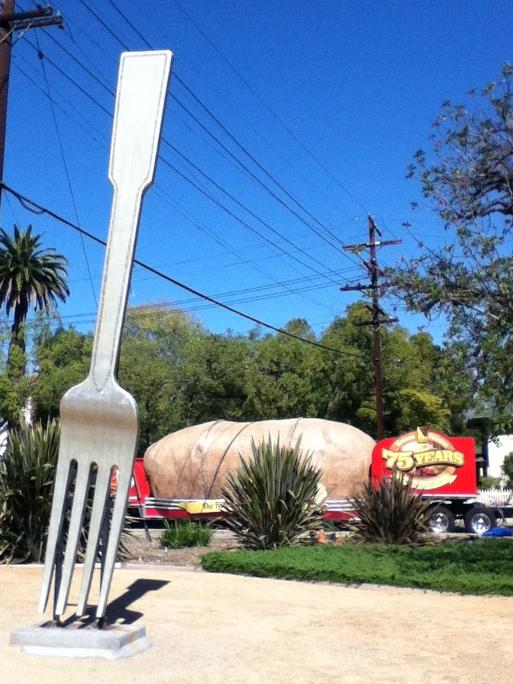
“FORK IN THE ROAD”, was a guerrilla public art installation, where an abandoned freeway extension left a weedy bare lot, splitting traffic exiting and entering the freeway ramps. Although the City of Pasadena removed it as a hazard, the public outcry forced the City to replace it with a permanent installation and recognize the affiliated charitable group collecting food for the hungry. Today, there was a one day visitor….a 6 ton sculpture of a baked potato chained onto a flat bed truck!  The Meals on Wheels organization and 75th Anniversary of Potato Grower’s Association teamed up to tour this sculpture across the country, doing a food collection. Lucky us, we got to see a unique pairing of Pasadena food and art …and get rid of the creamed corn and mushy peas we still can’t figure out why we bought in the first place!)
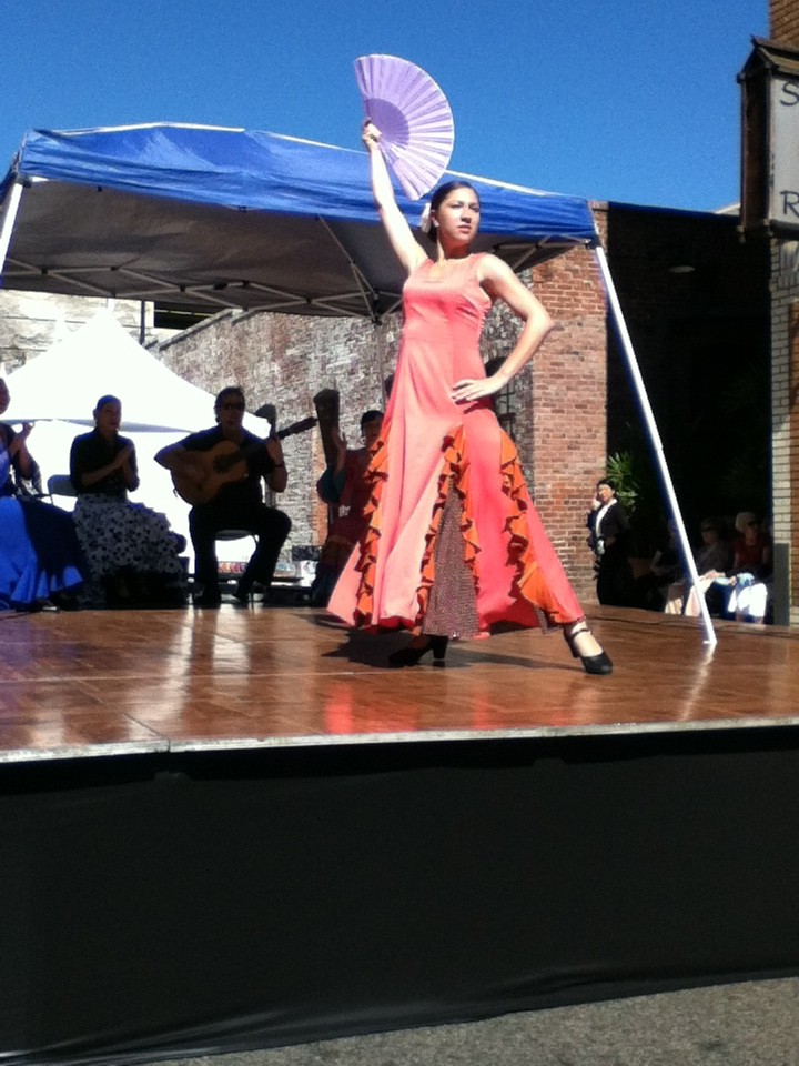
ART WEEKEND @ PASADENA  is a free, twice yearly event that encompasses so many venues that 3 shuttle bus loops leave from City Hall to showcase exhibitions of art/dance/music/food trucks in every part of the City. Although we only visited Art Center College of Design (for commercial art training), the Armory, Side Street Project (teaching math to 3rd graders by building art), and Norton Simon, it was an overload for the senses..and this was just Friday night! The weekend proceeded with food trucks, outdoor concert and art venues, including an ethnic dance festival, with great flamenco guitar and dancing.
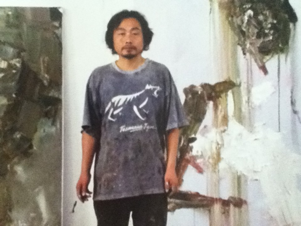
ART PLATFORM is an annual event. The major galleries each feature one of their showcase artists.  Usually Downtown, this year in a hangar at the Santa Monica Airport, we met painter Cheng Ping, with Geffen, Downtown. (Chinatown has more than 100 artists showing in the galleries there, so there is no need to go to Culver City to find the LA Art Scene). Born in Beijing, residing in Tasmania, Ping’s work is often abstracted expressions of animals in nature. Our featured photo at the top, “Myth of the Mountain and Sea-Flying Beast”, stood out at this event as, “intensely painted”, with visible brush strokes, smears and scraping, creating great layering and depth. Extraordinary, among the field of clean, stylized, digital photo-based painting and collage.  Ping was the exciting contemporary artist, in a field of modernists.
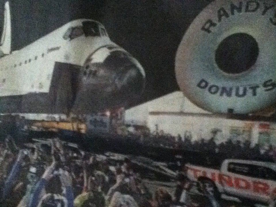
What a great art week in Pasadena and Downtown LA and all these great events were eclipsed by the biggest conceptual art event of the year..THE SPACE SHUTTLE, 900,000 pounds, on 160 wheels moving through Downtown Los Angeles!  Rolling past an enormous Donut in the dark, it was part of a truck commercial. How fun it that? How La-La is that?

Manzanar, A World Apart

My first day of  law school, my Constitutional Law professor boasted that he had taught both U.S. Supreme Court Justices William Rehnquist and Sandra Day O’Connor. Ironically, weeks later he candidly told us, about the time in his life when he failed in his role as a Constitutional scholar and as an American. He told of the day that he took his best friend’s family to the train to depart for a “concentration camp” (President Roosevelt’s words), based solely on their Japanese heritage, and in spite of their American citizenship. He said he never protested Executive Order #9066, in spite of his supposed ability to see the unconstitutionality of the law. It never occurred to him, as he was caught up in the same fear and hysteria as the rest of the nation after the bombing of Pearl Harbor.

Today, no one questions the bad judgement of the decision to imprison our citizens based on race alone. Presidents Reagan and Bush publicly apologized and made reparations, but most of these citizens lost much more than the $20,000 of compensation offered. 85% of farmers were unable to return to their land after internship. “Snow Falling on Cedars” is a moving fictional account of the impact of the loss of businesses, homes, and communities, even many years later. My Constitutional Law professor was not alone; very few newspapers or public figures questioned this policy. Those that did, notably J. Edgar Hoover (who stated immediately that there was no “factual data” to justify the mass relocation) and Attorney General Francis Biddle (who believed this action clearly violated the U.S. Constitution), were ignored, and the War Department prevailed. Our Courts remained silent and all of California’s congressman unanimously stated their support for removal.

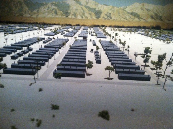
Did the public know that of the 110,000 jailed for being of Japanese descent, many were children. Specifically, of the 11,000 Americans jailed at Manzanar, 85% of those prisoners were under the age of 18 and solely American by citizenship? Would the public even care that we were enclosing 9,335 children behind barbed wire, with soldiers in guard towers keeping guns trained on them? That is the problem with fear and hysteria; it robs us of the ability to think rationally, one definition of “insanity”.

We have documents like the Constitution to guide us, when our faculties fail, when we cannot think straight due to our emotions. I believe my professor told us this with the hope that his students would question our nation’s decisions, and mount effective protests when fear twists our minds to believing that our finest laws and values should be abridged to handle the momentary hysteria. Benjamin Franklin warned us of the same dangers when he wrote, “They that can give up essential liberty to obtain a little temporary safety deserve neither liberty nor safety”. The next time you hear someone arguing to disband the 4th Amendment right to privacy in favor of “Homeland Security”, go read your Constitution, and ask what we will become as a nation led by fear, instead of by principle.

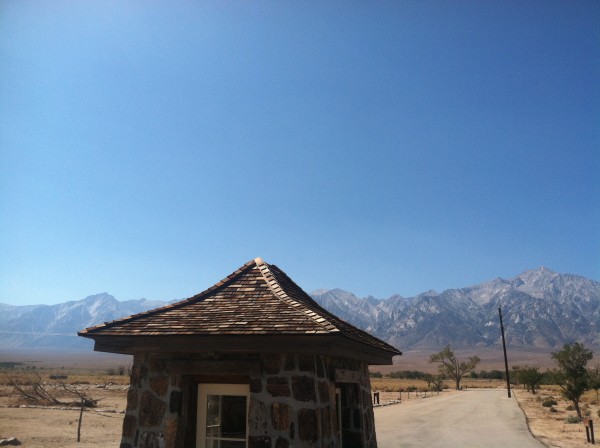
A visit to this site south of Lone Pine, CA wedged between Death Valley and the Eastern Sierras is a moving reminder of our failure to heed the warning. Extreme temperatures and winds are predictable in the high desert, yet these citizens built their own jail, including beautiful Japanese gardens, enduring fine masonry still evident in the two existing Sentry Huts.  500 citizens worked in a factory here making camouflage nets for the Allies, the War Bond effort was active in Manzanar, as were the internees who joined the 100th Battalion and fought the Germans in Italy.  The National Park Service provides a free, and inspiring way, to understand what these citizens endured, with hope that by educating ourselves, we won’t repeat our mistakes, when our fear and hysteria escalate, when we do not feel safe and in control.


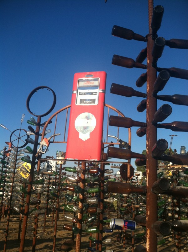
Route #66: Bottle Tree Ranch

If it hadn’t been 106 degrees in Death Valley (still, far better than 124 degrees on July 11th this year…), and if we hadn’t blown a tire due to heat damage, we would not have slept in one of the biggest truck stops in the US:  Barstow, CA.  Furthermore, we would not have been on alternate Route #66 at 6 AM where we could limp along at 30 mph to Victorville, for a matching replacement tire. Without this juxtaposition of events, we would have missed the very whimsical, Bottle Tree Ranch.


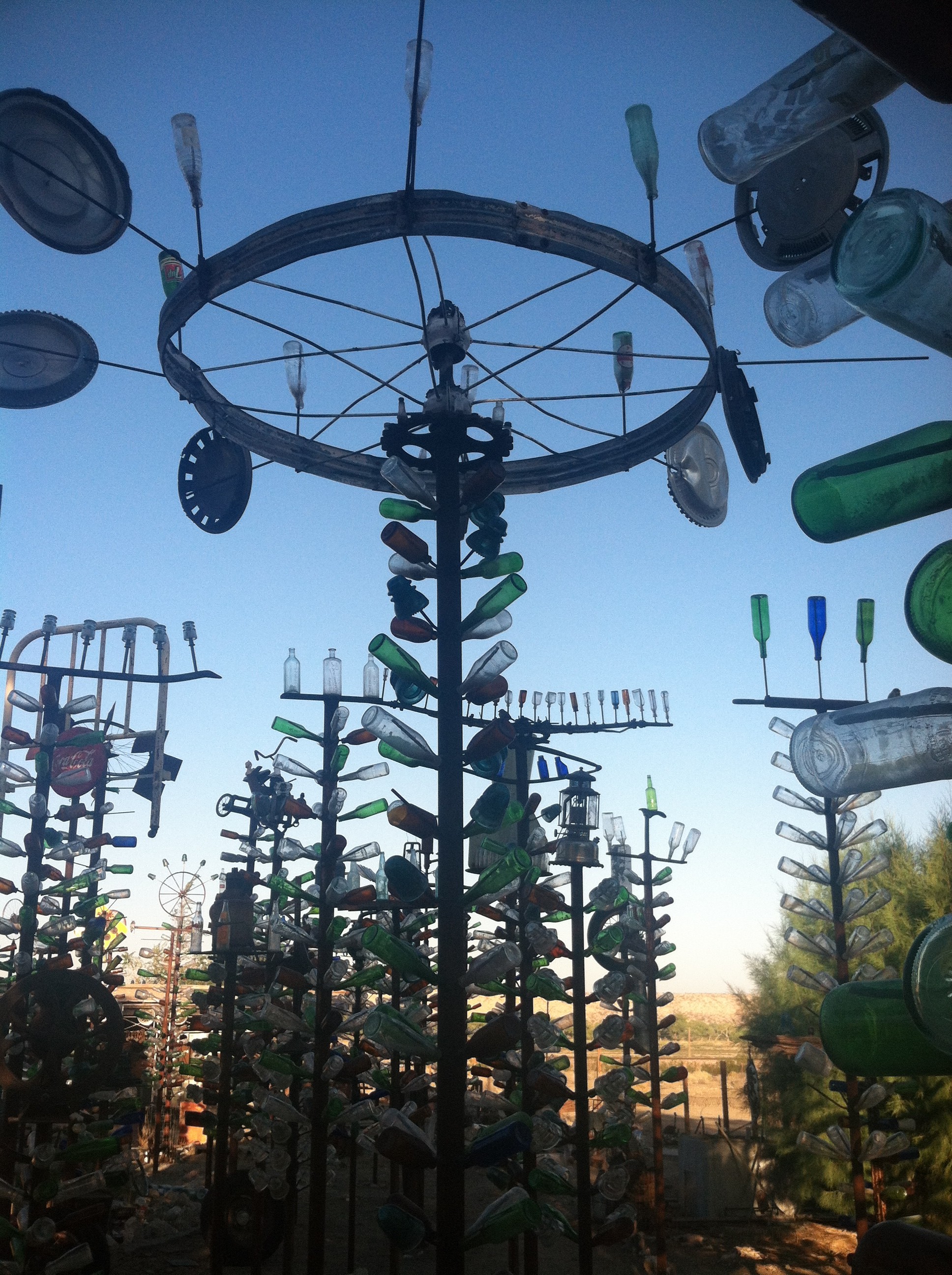
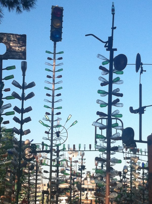
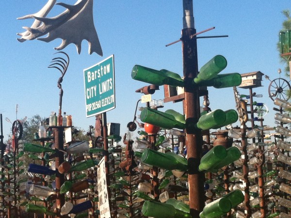
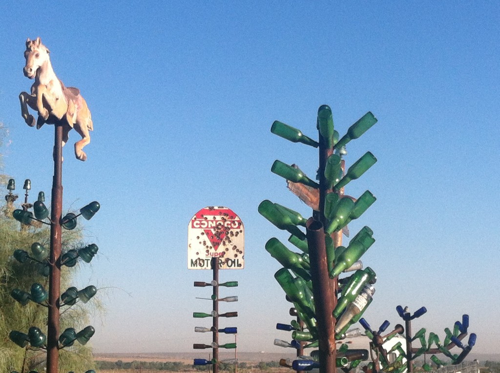
One doesn’t expect to find an art installation on a 2 lane highway in this barren high desert arena. Elmer Long has lived at that sight for 42 years in Oro Grande, collected over 400 bottles in the desert and roadsides, and created a fantastic and delightful “forest”.

Art from found objects is always unique, often goofy, sometimes with a theme; Bottle Tree Ranch is a celebration of the history of car travel in the 1950’s when Route#66 was a swinging cross-country route.

 Sculptures made of car parts, gas pumps, abandoned toys, musical instruments, and….just unidentifiable weird and beautiful stuff, it is free and open to the public.

So, wander around and enjoy his “trees”.  Long live roadside art, making  us slow down, and enjoy the ride.