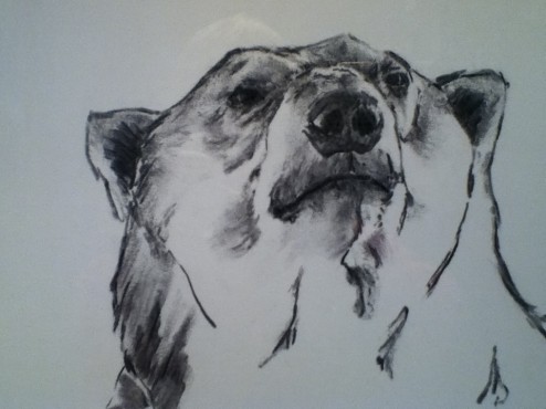
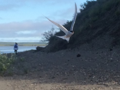
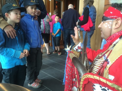
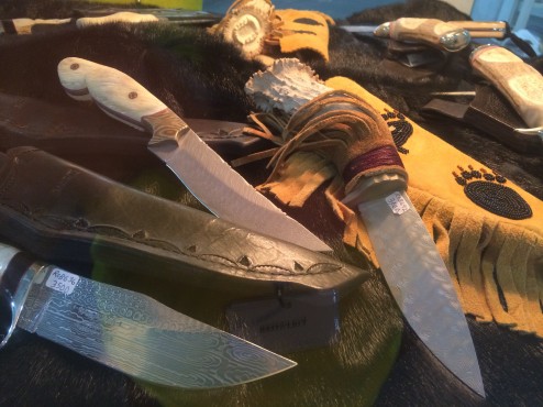
As volunteers and workshop participants at the ten day, “26th Annual Great Northern Arts Festival” in Inuvik (in-NEW-vik), we enjoyed making friends, sharing meals and learning new art techniques from the generous, mostly Inuit artists from the Western and Eastern Arctic. Due to their traditions working with ALL parts of the animals they hunt, there were art pieces made from sealskin, tusks, fur and hides, antlers, and muskox undercoat, the warmest fiber on earth by weight, and workshops to make knives, soapstone sculpture, whale bone jewelry and warm Arctic clothing.
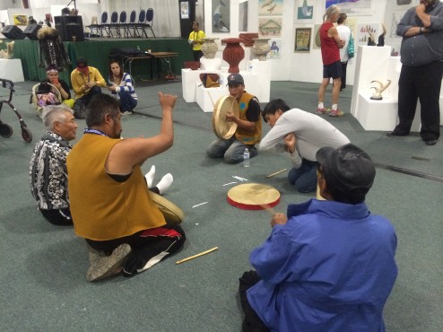
Spontaneous games and musical events erupted in the middle of the art gallery, this one a guessing game like rock-paper-scissors, except with over 50 gestures, and at high speed to keep up with the beat of the drummers!
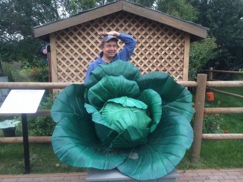
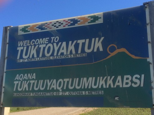
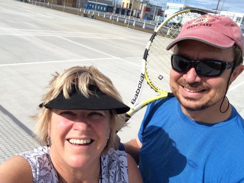
With only 2800 residents and the most northern stoplight in the world, the town can boast a wealth of modern amenities, beyond most Arctic towns of this size, due to the efforts of the Inuvialuit (in-NEW-vee-ah-LOO-it) Regional Corporation. The Inuvialuit Settlement Land treaties and agreements with the Governement were resolved in the Inuit’s favor many years ago. Given the wealth generated by gas/oil/mineral rights in their settlement lands, they have tremendous political clout. They own the tallest building in town, and have persuaded the Federal Government to build a great aquatic and fitness center, with squash courts, curling and ice hockey arenas, a large community greenhouse (you can imagine how large vegetables can grow with 24 hours of sun every day!), new tennis courts we enjoyed daily, and a baseball field. With warmer weather than San Francisco, and bright sun at midnight, it feels like a summer afternoon in California, and baseball goes on all night during tournaments.
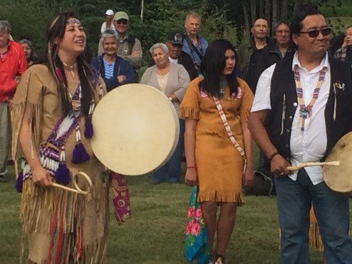
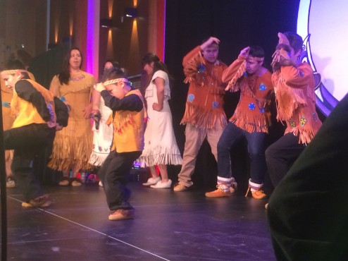
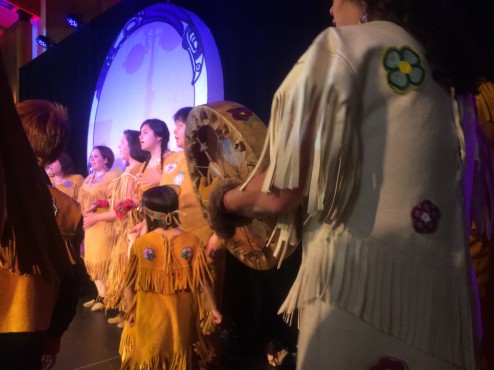
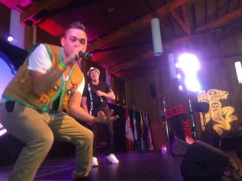
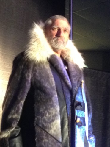
The annual fashion show is one of the hits of the week, as models strut the runway in floor length seal coats and other Arctic wearable art. The other is the throat singers from Nunavuut who improvise very percussive singing making breathy percussion and singing on both the in and out breaths. Tanya Tagaq is a famous throat singer who performs with the Kronos Quartet. Check it out on your itunes.
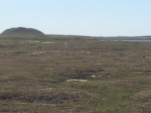
In comparison, the Gwiitch’n First Nation people who live on the Peel River in the Yukon Territory, are still negotiating use and management treaties of their settlement lands, and last week brought suit against the Territorial and Canadian Governments in the Trial Courts in Whitehorse YT on far weaker terms than has already been established by the well-organized Inuvialuits. “Protect The Peel” is the most common bumper sticker in town as the Inuvialuit are hoping that the Peel River watershed is protected; it flows into the Mackenzie River that Inuvik relies on for food, water, and cultural traditions as it flows to the Arctic.
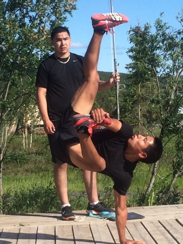
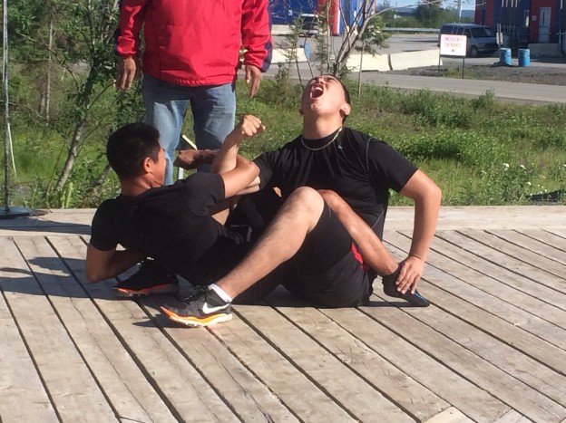
Appropriately, the theme of the week long Circumpolar Northern Games is, “Ukiuqtaqtumi Hivuniptingun…One Arctic, One Future”. Above, James and DangDang exhibit an agility game; starting from a seated position and holding one foot, competitors must launch upwards to kick a ball…that keeps being raised with each successful kick. In the feature photo, they exhibit a full body arm wresting contest. The Northern Games have 800 participants from as far as Greenland and Russia. The Sami people of Scandinavia and the Yamia people of Russia are traditional Arctic hunters and share the same games designed to keep hunters’ skills honed. The categories are endurance, strength, tolerance of pain, agility, and…social games often based on animal mimicry (below, Sally screeches like a monkey, sniffs his face, and picking pretend picks (and eats) nits off of James, with a goal of getting him to smile…it worked).
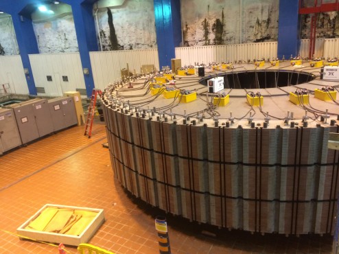
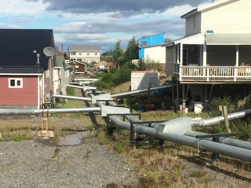
Living in Inuvik, sitting on top of permafrost thousands of years old, makes construction in the town unusual to us; every building must be built on piers on top of the ground, even the two large hotels built in the last two years. The delivery of water and removal of sewage must also be done above ground…and well insulated for -40 F. winter temperatures. The system pictured is a large central insulated Utilidoor running among a cluster of buildings, with Utilidettes running to each residence. Every building in town relies on this system. A year’s worth of diesel for home heating is brought in by two barges once a year before freeze up occurs on the Mackenzie River.
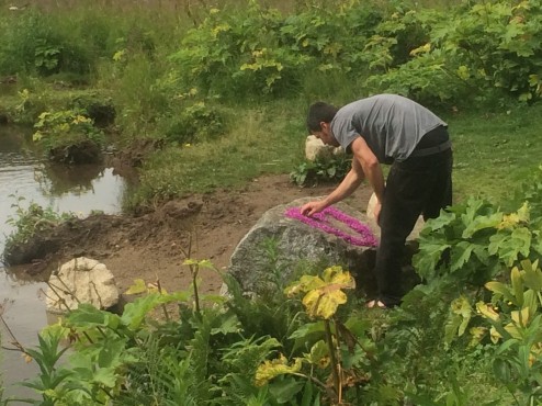
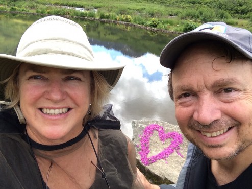
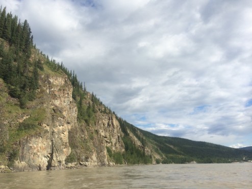
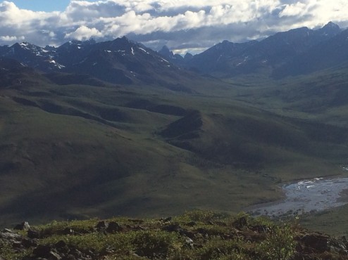
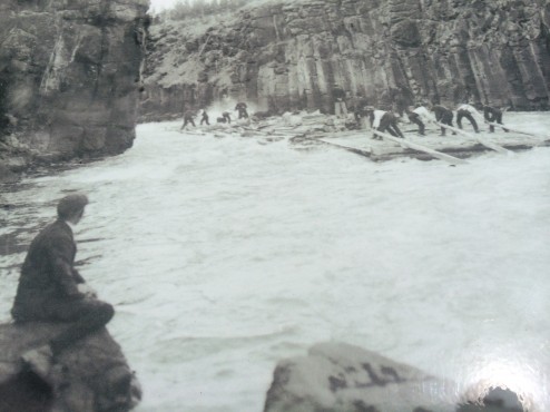
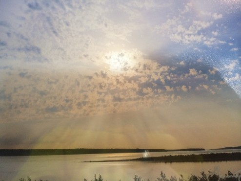
Finally, besides our friendships with Inuvit locals and visiting Arctic artists, we introduce you to the best landscape photographer at the Festival. Gawain Jones is starting a 12 year migration through the Arctic, living within Inuit communities a year at a time. His photo looks like the view of the Mackenzie Delta from our campground (with my reflection in it!); it does not do him justice, so please check him out at gawain.jones@gmail.com.
Posted from Inuvik, Northwest Territories, Canada.
68.3607437-133.7230177
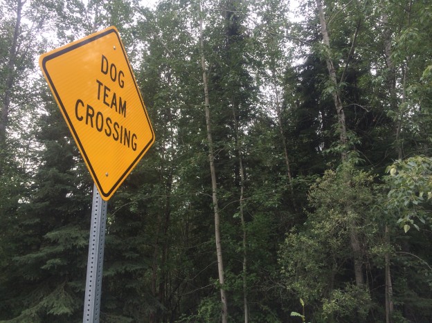
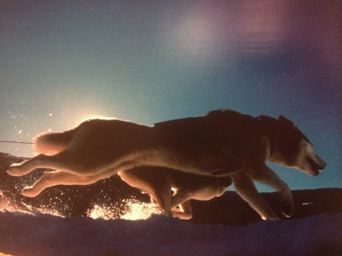
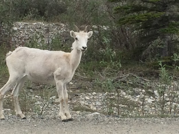
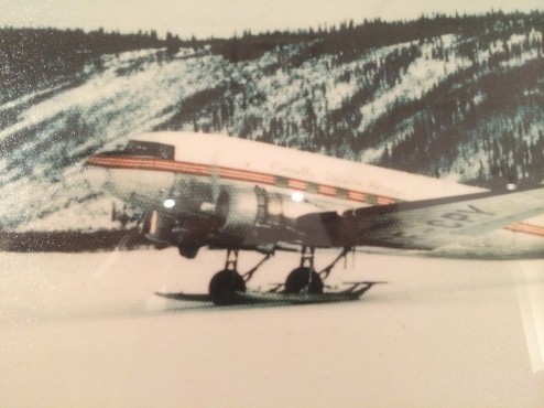
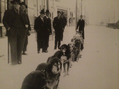
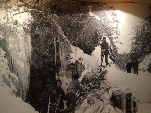
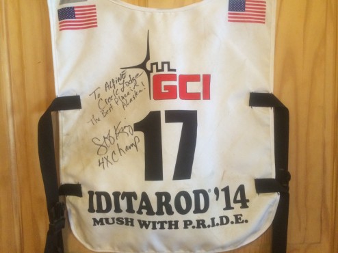 The Iditarod is 1049 miles (the final 49 in honor of the 49th State!) and takes about 9 days. Those amazing dogs! We see them out on the trails here in summer, and they love to pull! Imagine watching them streak across the white expanses, and catching the Aurora Borealis a few hours later in a cozy lodge…